 Surface waters represent a really important part of the water resources, and they are even
more valuable in our Province, as most of its territory is within a semi-arid region.
Two rivers that originally ran through La Pampa, Atuel and Salado, have lost their natural hydrological behavior as the highland provinces where these rivers rise have used their water excessively or have even cut their waters off. All this has led to a severe environmental damage that has seriously affected the Province of La Pampa.
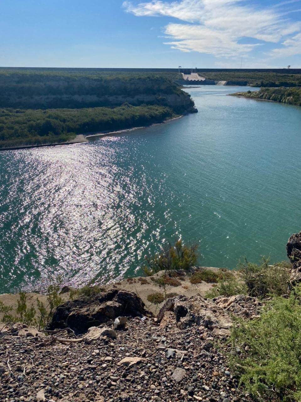
The Colorado River establishes the southern border of the Province and has an enormous
potential for development. On La Pampa’s side, the river runs next to the towns of
Gobernador Duval and La Adela until it flows into Mar Argentino. After the town Colonia 25
de Mayo, there is a water reservoir in Casa de Piedra with a dam that manages the Colorado
River, controlling when it rises annually, and allowing the irrigation of nearby lands, the
generation of electric power, and new activities such as fish farming, tourism and recreation.
It is expected that the area under irrigation may expand up to 85 thousand hectares, which
may, in turn, enrich the region and increase its population. The valley of the Colorado River is
one of the only ones in the world with mild weather that still remains unexploited, which may
enable a large production of food.
In addition, the Province of La Pampa has other water reserves that are considered strategic, such as Valle Argentino, Meauco, Toay-Santa Rosa-Anguil-Catrilo, Valle de Chapalco, La Puma – Trilí, General Pico – Dorila – Speluzzi, and other ground waters that are public property of the province and represent strategic resources to ensure water management.
